Artifact of the Month

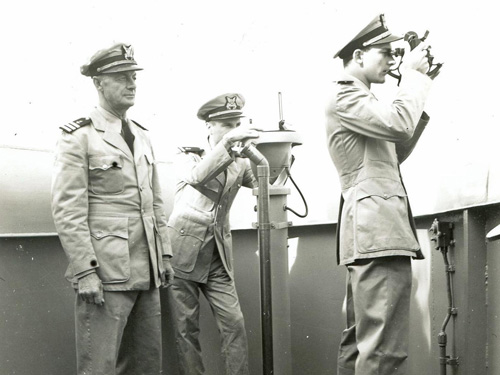
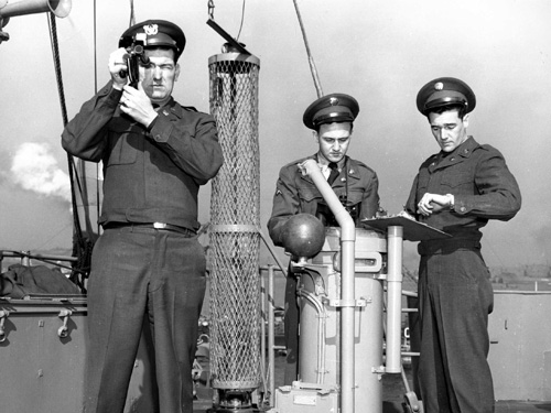
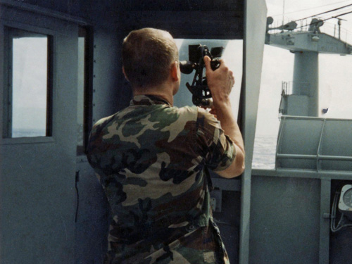
One skill necessary for all mariners since the beginning of time is the ability to navigate. How to get from point A to point B when you do not have points of reference on the ground. The answer lies up in the sky: stars. Mariners have used the stars to navigate well before the advent of GPS.
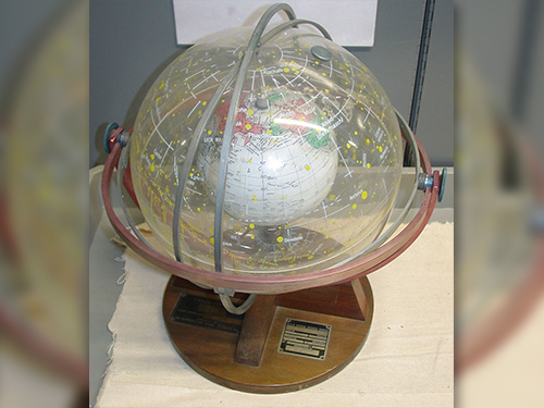
This training aid, manufactured by Farquhar Transparent Globes, was used in the 1960s to teach Army mariners how to navigate using the stars.
Celestial navigation, also known as astronavigation, uses angular measurements taken between a celestial body (the sun, the moon, a planet or a star) and the visible horizon. The sun is most commonly used, but navigators can also use the moon, a planet, Polaris, or one of 57 other navigational stars whose coordinates are tabulated in the nautical and air almanacs. Celestial navigation includes the use of a sextant to determine angular measurements (sights) between celestial bodies and the visible horizon to locate one's position on the globe, on land as well as at sea.